Dengue Risk Assessment on the Island of Hawaii
Macalester College / Advanced Geospatial Analysis / Spring 2018
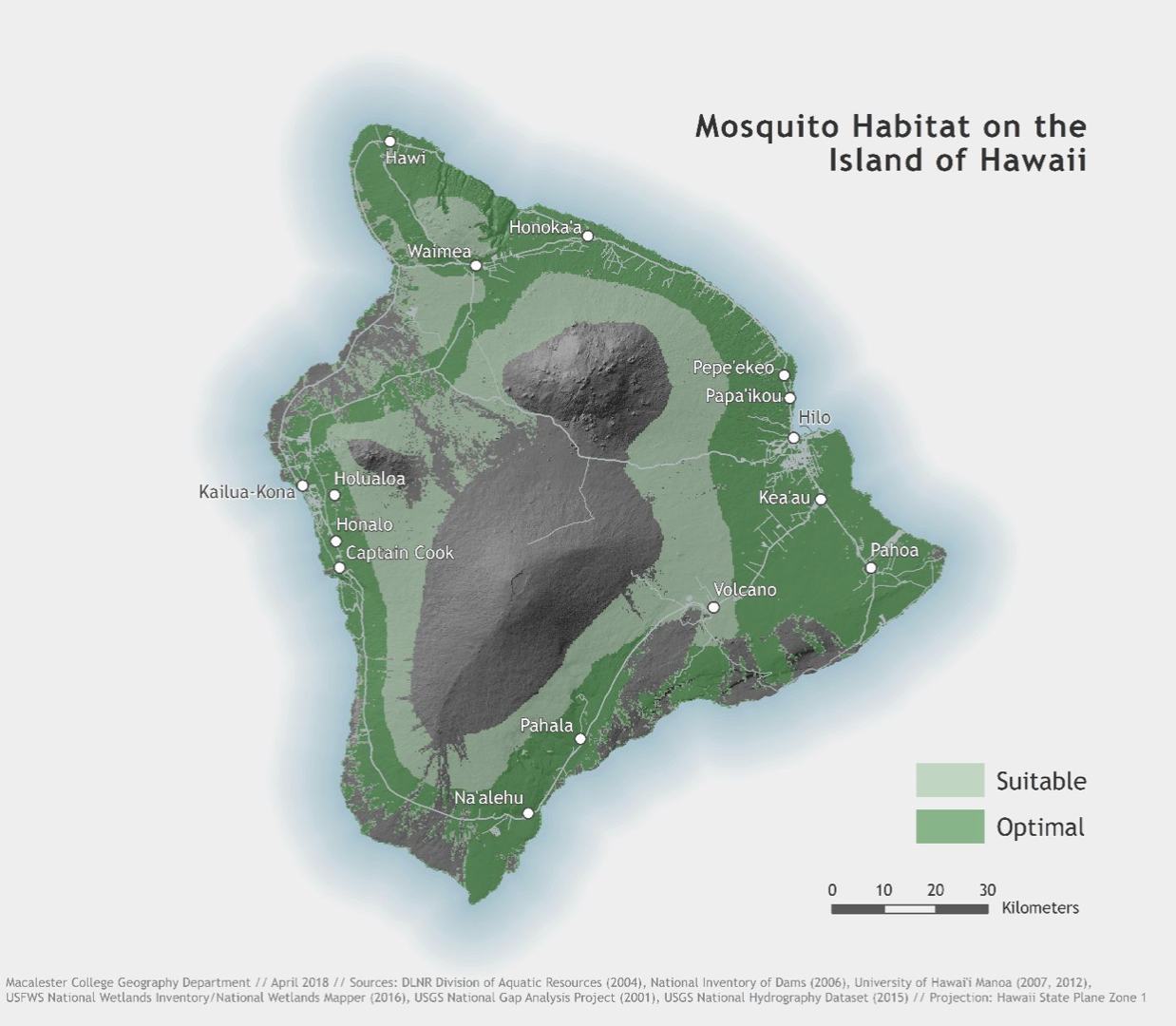
In the spring of 2018 I was part of a class that set out to create a risk model of dengue fever on the Island of Hawai’i. Following the methods of existing scholarship on the dengue outbreak in Hawai’i during the early 2000s, our class created a model for mosquito/vector habitat based on the 2015-2016 outbreak.
This exercise in model building was extremely informative for us as a class and for me individually. This semester-long project saw us navigate a project from its early stages to a final, presentable format. I enjoy this style of class because it lets students work on many aspects of a single project – in my case, I worked on collecting climate data towards the beginning of the semester and on the design team towards the end.
https://www.arcgis.com/home/item.html?id=cf9af8fc89244e27aef0e188937ec733
Below is our final mosquito habitat model: