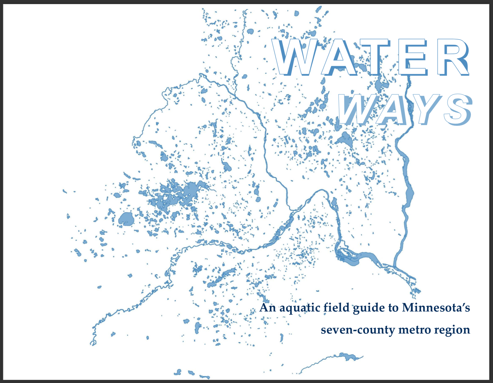
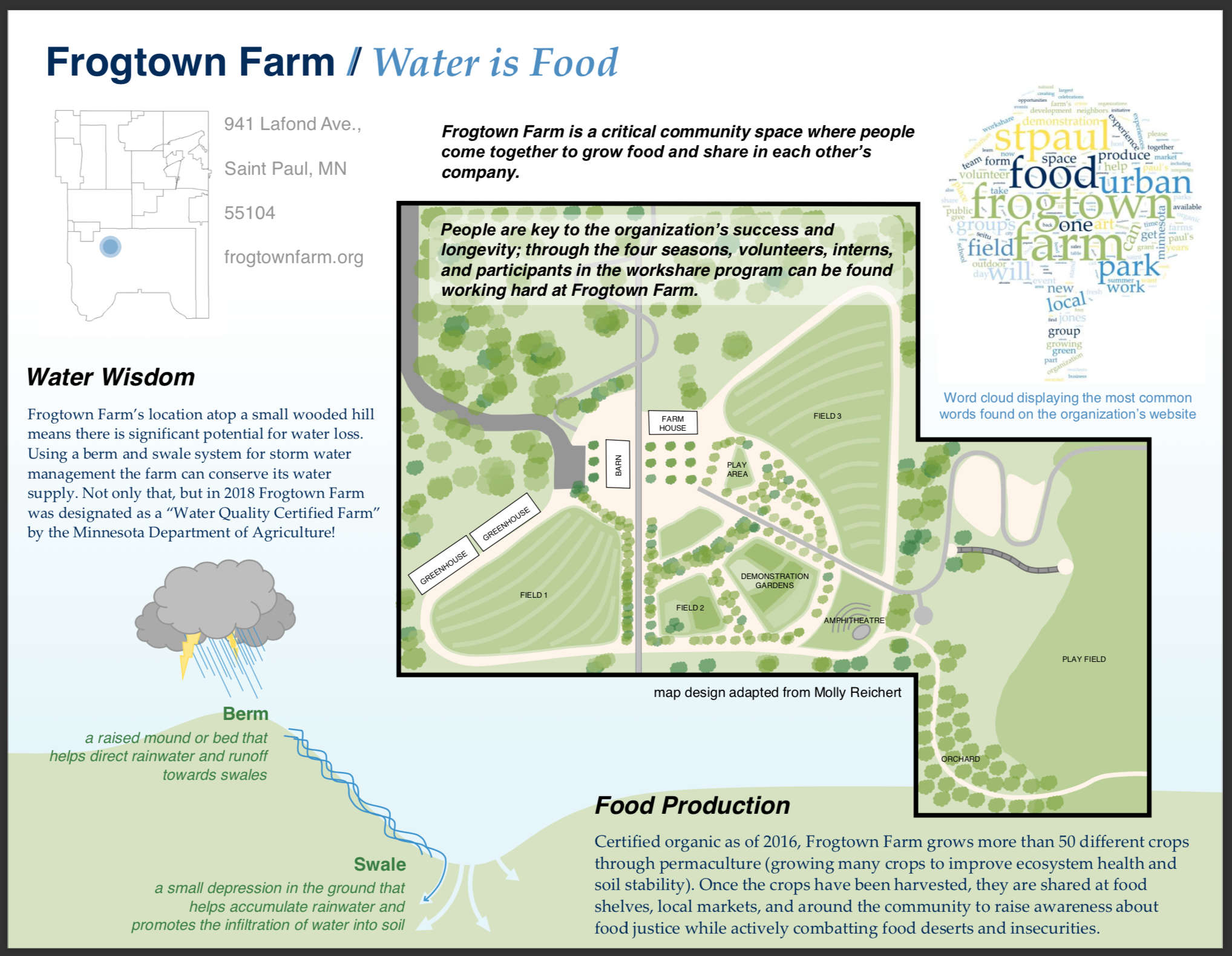
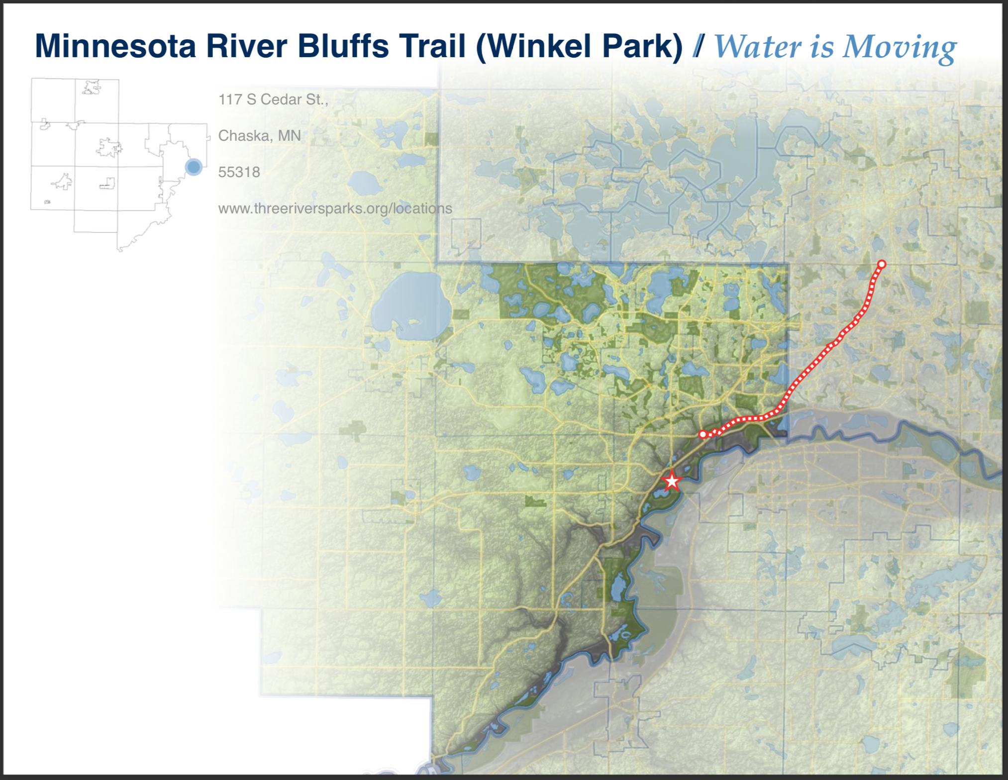
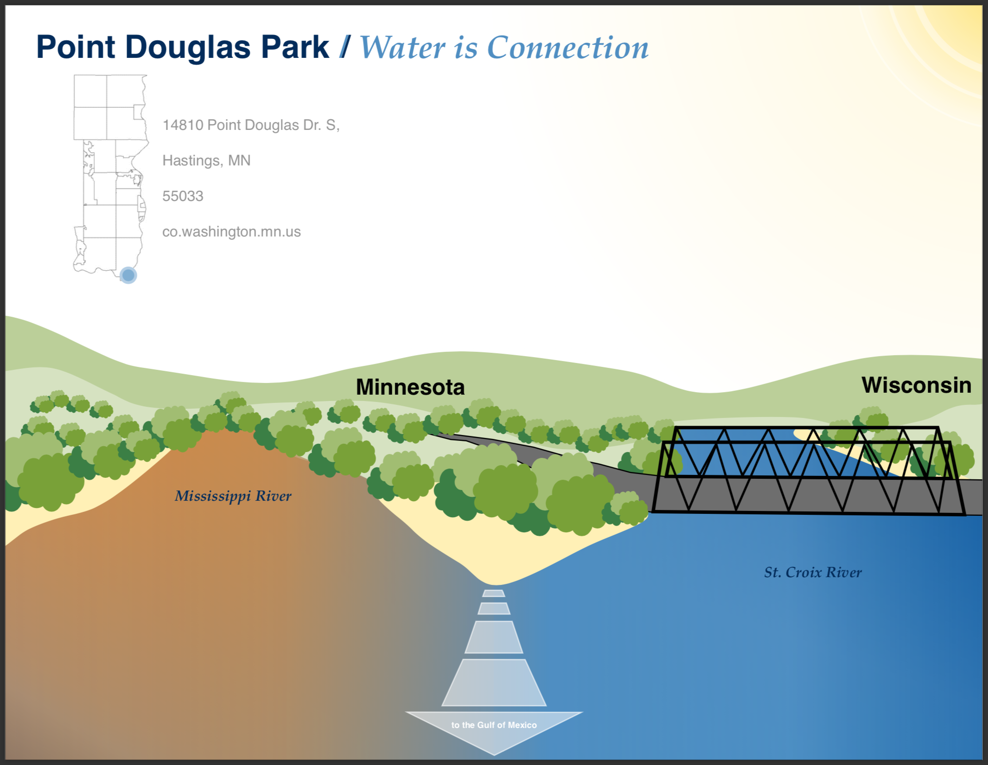
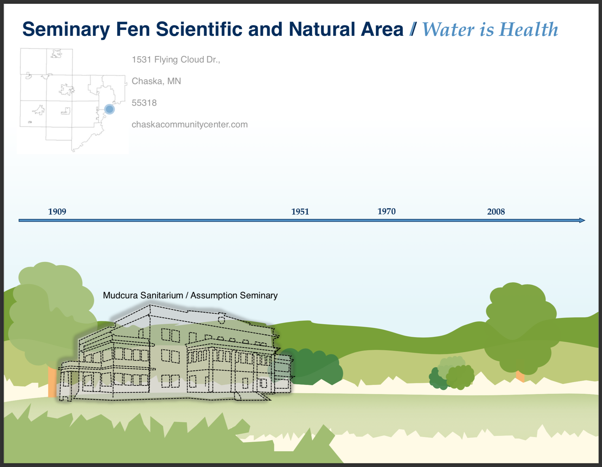
Work in Progress! Water Supply Field Guide
While at the Metropolitan Council of the Twin Cities, I’ve been working with one of my coworkers on an exciting project that introduces the public to water supply in the 7-county metro region.
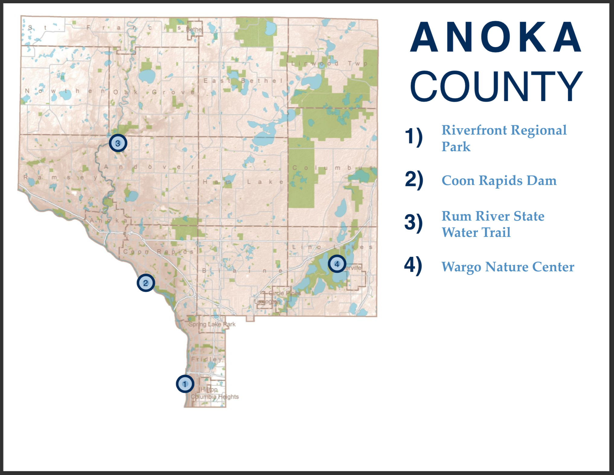
In this post, I’ve included some preliminary page drafts and sketches so visitors can get an idea of what I’m working on. I’ve been using ArcMap for all maps included, but everything else has been made in PowerPoint! It’s been quite the experience adapting to PowerPoint for layouts and graphic design after using Adobe for personal projects, but I’m proud of the results so far.
Enjoy! I’ll update this post as the field guide progresses.